by Rajat Nayak

The PACE project is one of the most innovative projects to come out of NASA Goddard SFC, in the way it feeds such a variety of data back to earth. There were several ways in which PACE has already been put to use and some of the data it can map about our beautiful world:
Observing global ocean color and corroborate ecology, carbon cycle, cloud information, aerosol mapping.
Identify to an extent, large algal blooms occurring from eutrophication and other reasons.
Map global phytoplankton distribution and abundance.
Could benefit fisheries, and sectors that rely on marine aquaculture.
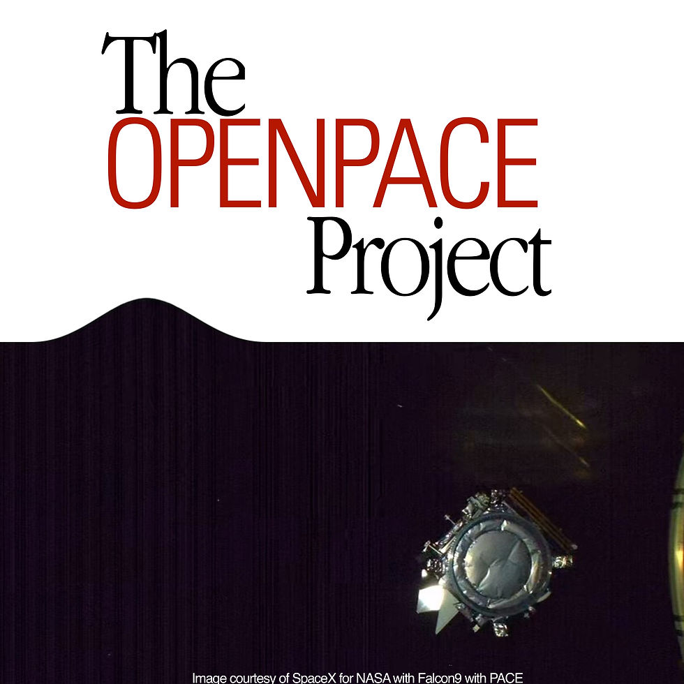
PACE stands for Plankton, Aerosol, Cloud, Ocean Ecosystem. It was launched on 8 February 2024, at 06:33 UTC instantaneous launch window, on a SpaceX Falcon 9 (booster B1081, reusable) rocket from Cape Canaveral Space Launch Complex 40, Florida. It was operated from the Goddard Space Flight Center.
NASA's previous ocean color satellites- CZCS, VIIRS, SeaWiFS, MODIS could only detect a few levels of wavelengths, but PACE can do 200+ in that regard. So not only does it grab plankton density, aggregation data, but can also forecast what species of plankton clusters are dominant in a specific region from the level of the green shades (from chlorophyll) of the ocean, from a space view.

Some of the phytoplankton are beneficial, others not. This level of detail enables incredible level of data forecasting for communities, marine aquaculture, and forecast danger (since some of them are actually harmful). The photo was taken from this incredible video about PACE from NASA Goddard we recommend checking out- https://www.youtube.com/watch?v=JyjjiEQq6uI.
The Polarimeters on board (HARP2, SPEXone) enable capture of light bouncing off atmospheric particles from multiple angles. This is to minimise sun glint during observation by choosing a different angle for more accurate data analysis. Even, analyzing the geometry of the sun glint reflecting off the ocean surface gives us a surprising amount of data about the environment. PACE also gives an impressive first look into Aerosols, microscopic atmospheric particles like sea salt, pollen, volcanic ash etc.
NASA PACE also works on existing data tracking on things like tracking seaweed, a case study on which was done regarding the Sargassum blooms clogging up the beaches of the Carribean, which was devastating to the coastal economy, since it can trap boats and ships, clog waterways, accumulate marine debris, smothers coral and seagrasses and suffocate the coastal edge ecology as a whole, and release incredibly pungent Hydrogen Sulfide gas, and as a result of all of that, entire beaches have to be closed. They are great when they are in the ecology of the open ocean, not so much on coastal beaches. Here's the incredible Sargassum tracking case study from NASA Goddard and University of Puerto Rico, Department of Marine Sciences- https://www.youtube.com/watch?v=7qaJMfAZFiQ.

There's also an incredible documentary by Emme Watkins in collaboration with NASA, titled "An ocean in Bloom" highlighting the red tide, the devastating effects of harmful algal blooms (HABs), and after so many fishes die across the world from algal blooms, the PACE satellite promises a solution after a decade in the making. This is the documentary, and this is also something we absolutely recommend watching, credit to NASA Goddard- https://youtu.be/GTOgp59FSpI?feature=shared.

For an Overview, aside from the Youtube videos linked, which we absolutely recommend watching, here's some more important links related to PACE and what it does.
NASA Goddard Youtube channel: https://www.youtube.com/@NASAGoddard
Goddard SFC Website: https://www.nasa.gov/goddard/
Comments